 |
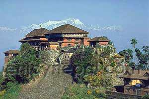
| HISTORICAL ROYAL PALACE, GORKHA |
Gorkha district is located in 27-15' 28°45' north latitude and 84027' - 84058' east longitude (NPP, 1999) According to the DDPN, 2004 the district is at an elevation of 1097 meters with the area of 3610 sq. kms (the maps has been displayed in Annex 11).
 |
| MANAKAMANA TEMPLE, NEPAL |
Out of them 112,535 k.m. land is covered by forest, 58990 km is covered by pasture and left 54359 km is agriculture land of the total agricultural land 41,482 is cultivated and 13,057km is non-cultivated" :--Ecologically this district lies in the hilly region the Grokha comprises of three topographical regions, they are high Himalayans, high mountain and mid mountain. For the administrative purpose, it lies in the Midwestern zone and it's headquarter is Pokharithok.
 |
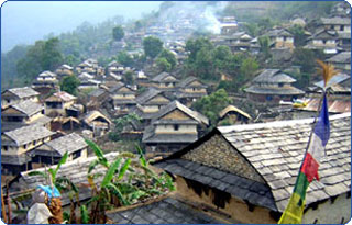
| GHALE GAUN, GORKHA |
There are 66 villages development committees and a municipality named Prithivi Narayan Municipality as a grass root level administrative unit.
 |
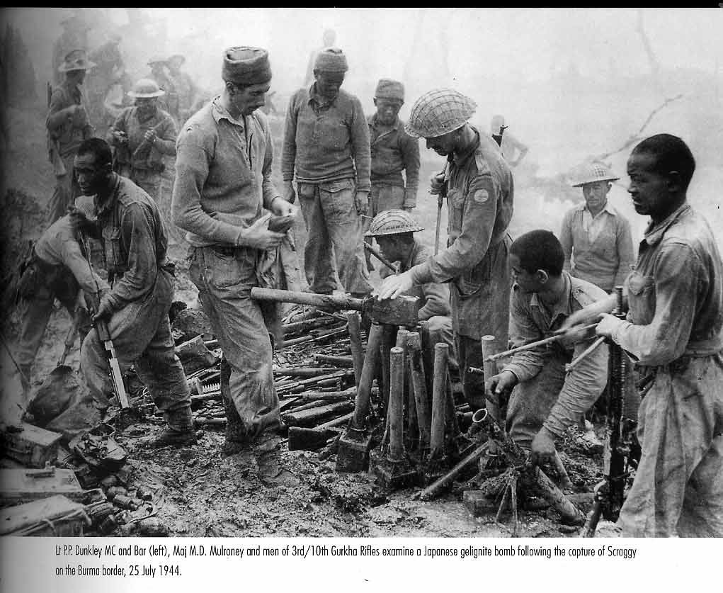
| GORKHALI, DURING THE SECOND WORLD WAR |
Agriculture is the main occupation of the people. Paddy, maize, millet, wheat, barely and oilseeds, potato, sugarcane, tobacco and ginger are the main crops of this district. Besides agriculture, the small and cottage industries also exist in the district. 16 small cottage and cottage industries were registered in 2002 (DDPN, 2004).
 |
| MAGAR AND GURUNG WOMEN |
Gorkha has multi-cultural and multi-ethnic groups of people. The major castes in the district are Gurung, Brahmin, Chhetri, Magar, P-; Newar, Sarki, Kami, Damai, Muslim and Tamang respectively. The majority of the Gorkhali people speaks Nepali language and some of them speak s(Gurung, Magar, Newar Tamang and Chepang) their mother tongue. Large number of people of the district are Hindus where some are Buddhists, Christian and Islam, Jain, Sikh respectively (CBS, 2001).


No comments:
Post a Comment